GPS trail: no codes on the stations
A GPS trail (QRUNG) needs only one printed code. The app guides you to each station by distance; when you arrive, the question opens by itself. No internet needed — only location.
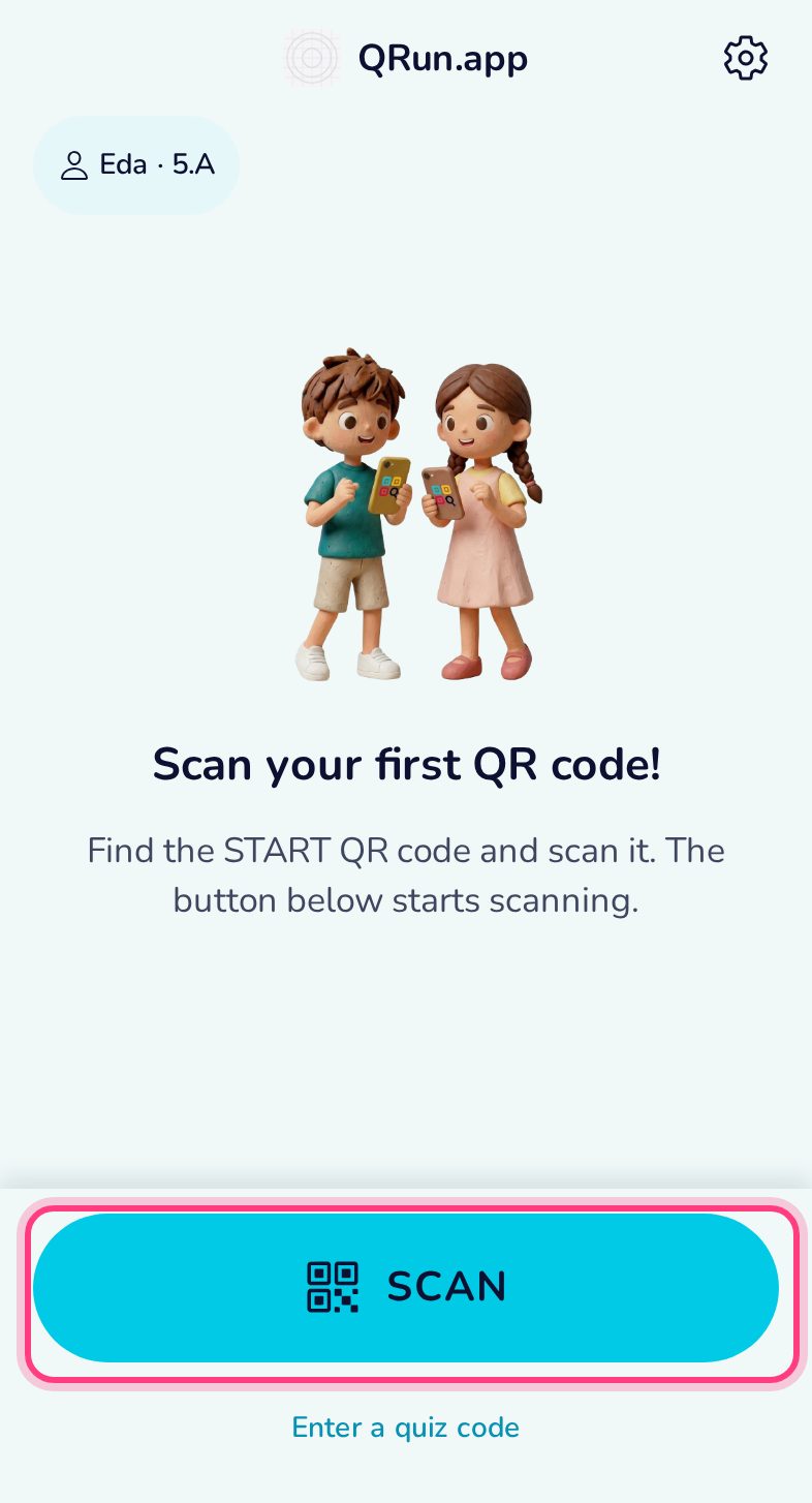
Scan the trail’s code
The organiser prints one GPS code (or puts it on a screen). Scan it with Scan — the stations live inside it, nothing is printed for them. The app asks for location at this moment.
Follow the distance
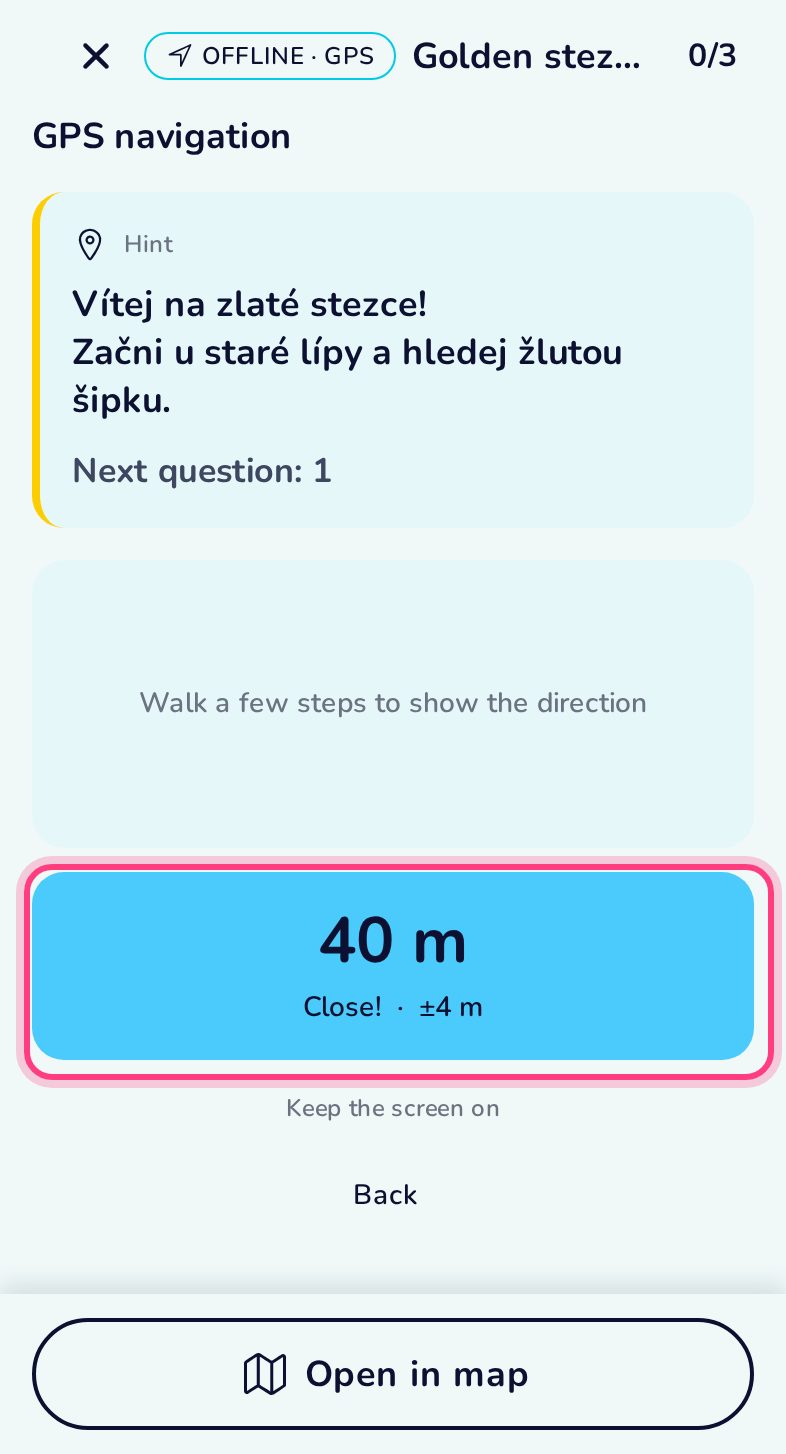
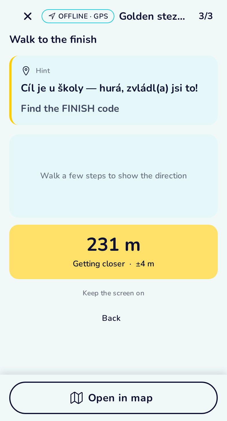
The card shows how far the station is and whether you are getting closer. On a phone an arrow points the way; keep the screen on while walking.
You have arrived
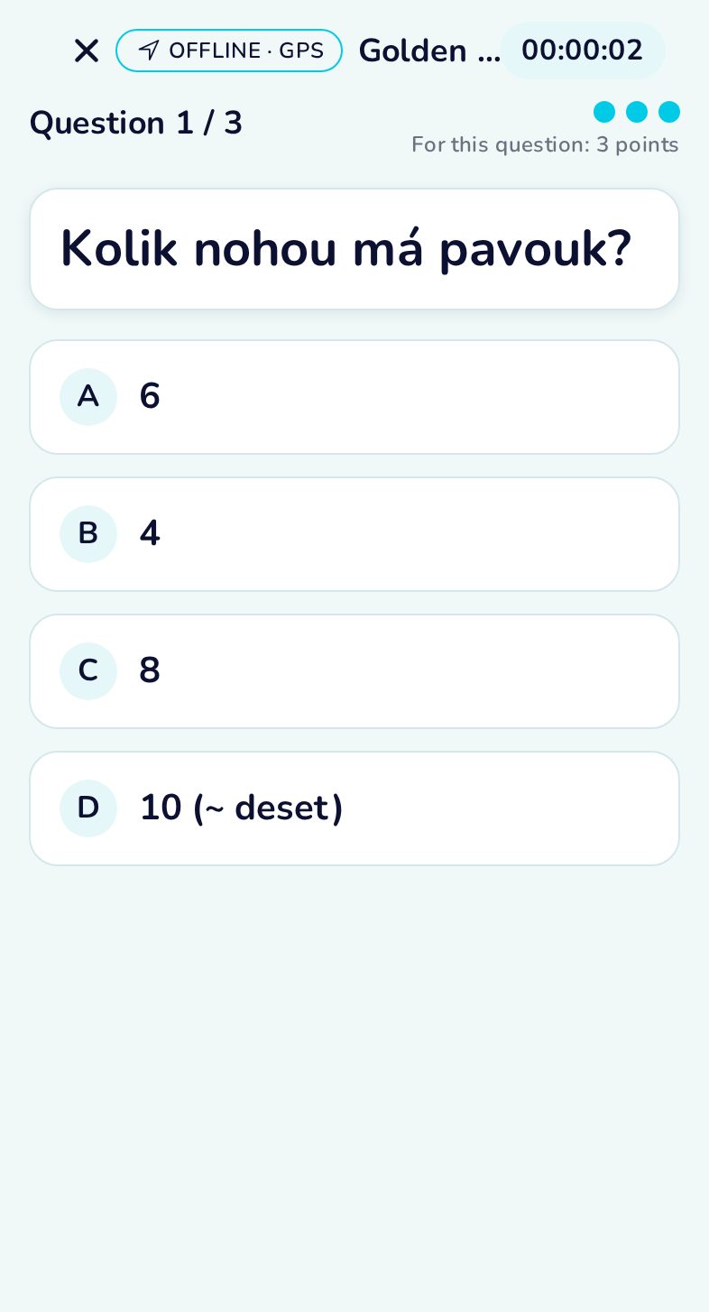
At the station the question opens by itself.
Walk to the finish
After the last station the app navigates to the finish.
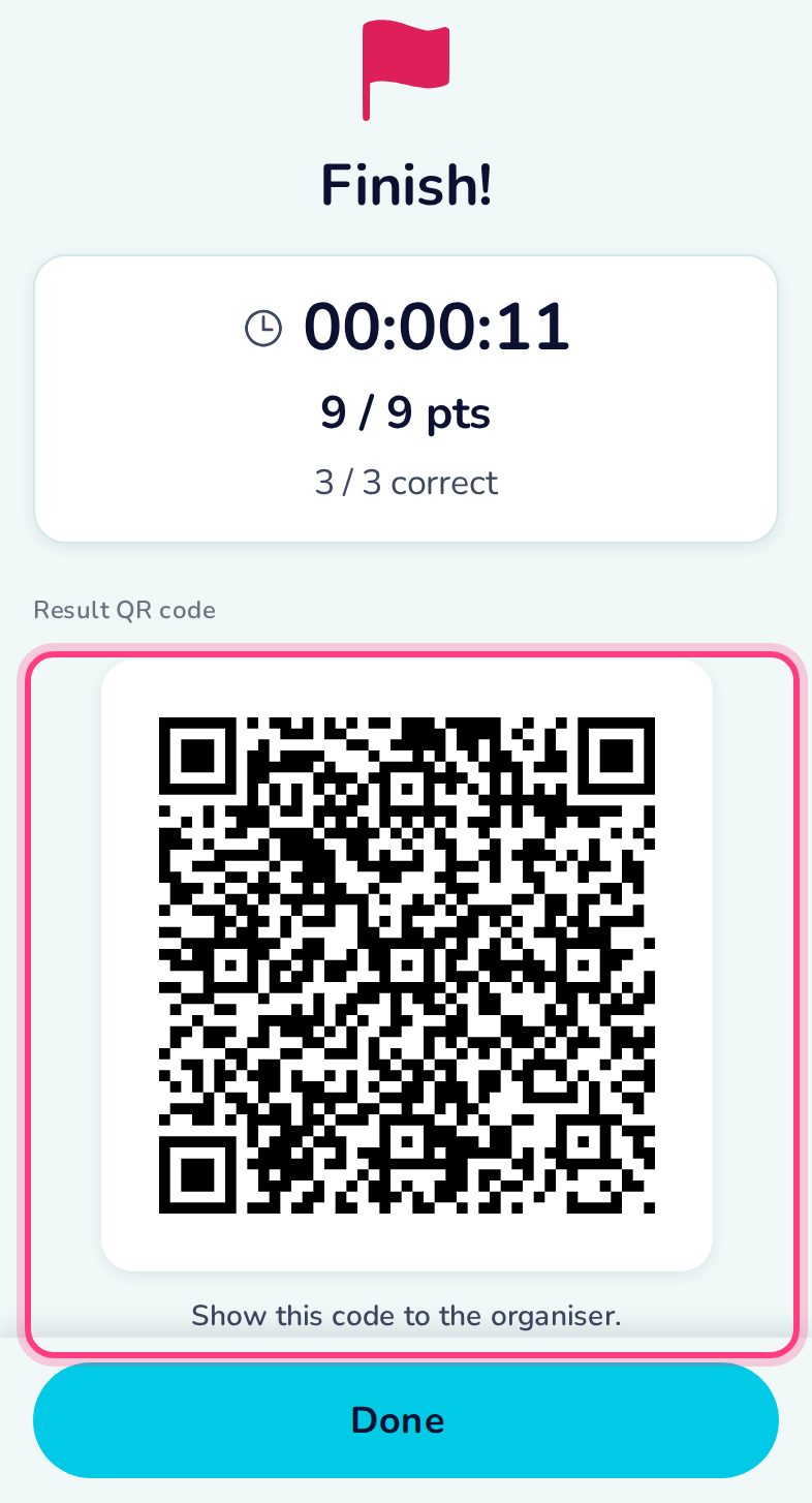
Finish and result QR
Time, points and the result QR for the organiser.